14 Unknown Facts about Google Maps
 9. Who owns the satellites used for aerial views?
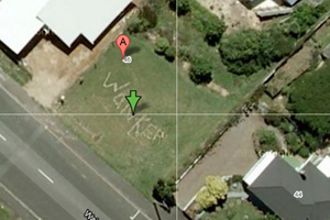
The satellite imagery for both Google Maps and Google Earth comes from a broad range of sources and third-party providers. The same information is available to anyone who licenses or purchases it from widely available public, government, commercial and private sector sources.
 8. Google Maps monitor inappropriate content captured on Street View
According to a Google spokesperson, users occasionally report "odd or unpleasant moments" captured on Google Maps — usually in Street View. If users find any inappropriate image, they can report it by clicking "Report a problem" at the bottom of the image, and those requests are regularly monitored and responded to by Google employees. The team works quickly to review and take action, if necessary.
 7. Google blur every individual's face
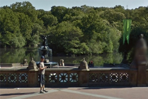
Google uses an automatic face and license plate blurring technology to protect people’s privacy in Street View. Users can even request additional blurring. Aerial imagery provides much less detail and resolution.