
Space-tech Start-up Sisir Radar wins the iDEX DefSpace Challenge
The iDEX DefSpace Challenge was won by Sisir Radar, a space technology start-up founded by former ISRO director Tapan Misra, for creating a L and P band continuous wave Synthetic Aperture Radar (SAR) payload for low-earth orbit small satellites and an unfurlable electronically steering antenna for the L and P band SAR payload. Air Marshal Surat Singh of the IAF gave the award to Sisir Radar at the event hosted by the Indian Space Association.
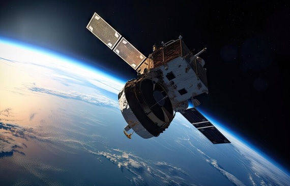
L & P band synthetic aperture radar, or dual-band radar, has an advantage over other frequencies (like single X band) when it comes to unhindered viewing capabilities from space, as a dual-band SAR satellite can see through rain, clouds, foliage, and vegetation in a tropical country like India, as well as have underground penetration capabilities for dry terrain. Misra, who was earlier the director of the Ahmedabad-based Space Applications Centre, became famous in the space world for leading an ISRO team in developing India's first space-borne SAR system for Risat satellites (surveillance satellites), which security agencies are mainly using to keep an eye on infiltrators along the Pakistan border. The satellite images were also used to plan the surgical strikes.
Misra also played a vital role in the development of a dual-frequency SAR that was used on the Chandrayaan-2 orbiter, which is currently circling the Moon. "Our start-up has already developed the world's first low-altitude drone L-band SAR and 6 GHz bandwidth ground penetrating radar, both hand-operated and drone versions, which are designed for mining applications. It has undergone successful application trial runs in mines operated by Vedanta Group", Tapan Misra, Chairman and Chief Scientist of Sisir Radar, said.
SAR is a unique imaging radar technology that can provide highly accurate, high-resolution terrain imagery through clouds, smoke, and dust, even in pitch-dark conditions. SAR imagery offers much higher resolution than other forms of remote-sensing technology, such as hyperspectral and multispectral. SAR is a critical technology for strategic reconnaissance and planning as well as disaster management.
.jpg "Green Is The Way To Sustainable Shipping Solutions")


